Subsurface Surveys
Safe projects start below the surface. Serving Vancouver, the Lower Mainland, and throughout Western Canada
What is a Subsurface Survey?
Understand what lies beneath—before you dig.
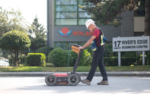
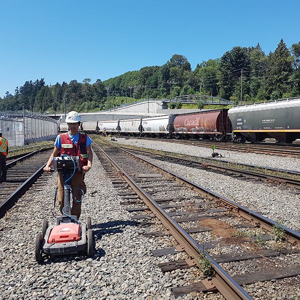
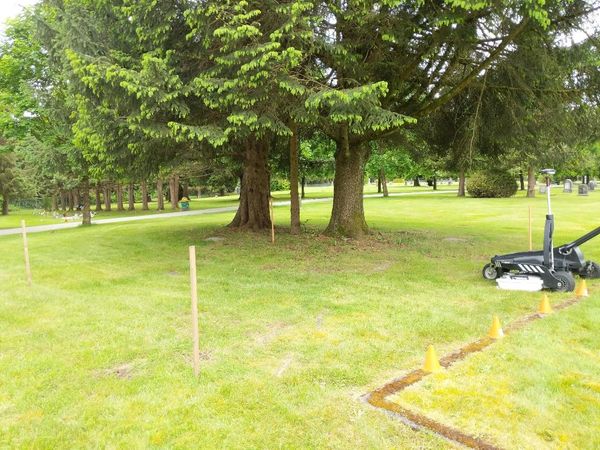
Subsurface surveys are non-destructive investigations that identify underground utilities, voids, structures, and anomalies. Whether you're excavating, renovating, or building from scratch, knowing what’s underground helps you avoid costly surprises.
We detect:
Buried utility lines (gas, telecom, water, sewer)
Reinforced concrete features
Underground tanks and voids
Historical structures and anomalies
CALL FOR FASTER SERVICE 604-553-4778
Our Technology and Tools
Precision starts with the right equipment.
We use industry-leading tools to provide accurate, clear underground data.
Technology We Use:
-
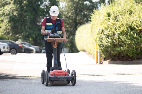
GPR (Ground Penetrating Radar): Detects utilities, voids, rebar, and cables
-
Electromagnetic Locators: Ideal for locating metallic lines
-
Magnetometers & Conductivity Meters: Detect ferrous materials and map soil conductivity
Survey-Grade GPS & Total Stations: Georeferenced data, ready for CAD and GIS
Deliverables include:
AutoCAD- or GIS-compatible utility maps
Georeferenced data
3D visualizations (on request)
Certified Expertise You Can Trust
Certified professionals. Proven results.
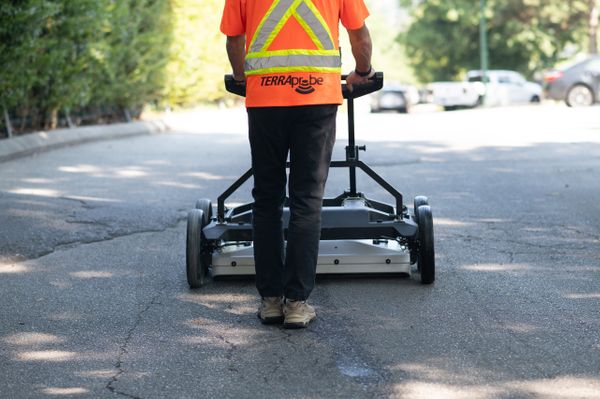
At TerraProbe, our team is made up of licensed engineers, surveyors, and experienced field technicians trained in BC's complex subsurface conditions.
Our qualifications:
Registered Engineers & Land Surveyors (EGBC + ASTTBC)
Field staff trained in ASCE 38-22 standards
Ongoing certification and safety training
Why it matters:
Only professionals with provincial credentials can certify data for legal or regulatory use.
Standards & Quality Assurance
Industry-standard processes. Zero guesswork.
We follow the ASCE 38-22 guidelines for subsurface utility engineering (SUE), delivering data that meets or exceeds industry expectations.
Our quality controls include:
Multi-method validation (GPR + EMI cross-checks)
Redundancy scans
Clear documentation of uncertainties
Review and sign-off by licensed professionals
CASE STUDY//
CAUSEWAY VOID DETECTION
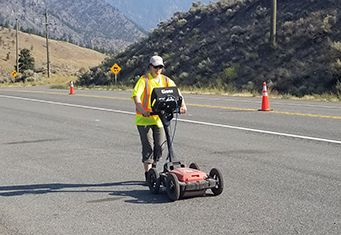
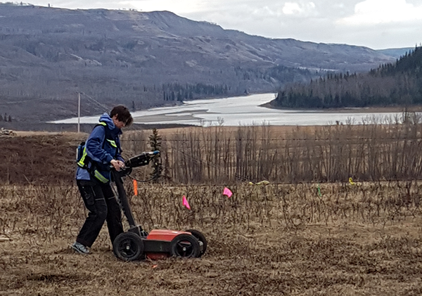
Client Objective/Goal: The goal was to locate possible voids caused by water incursion and indicate the location and size/depth of the anomalies.
Project application: We used an IDS Stream-DP array system for data collection which was then processed using Geolitix and IQMaps software. The client received a 3d and a 2d map of the located anomalies.
PROBLEM
The Client was concerned about possible voids in a causeway caused by water incursion.
The information was needed to give them data to help make a decision on possible remediation steps for the causeway. GPR was the only effective method for providing an indication
SOLUTION
We used an IDS Stream-DP array system for data collection. The data was collected and then process using Geolitix and IQMaps software. The deliverable was a 3d and 2d map of the located anomalies.
BENEFIT
Use of the Stream-DP system allowed us to collect data in one direction only as opposed to a grid pattern. This made the data collection much faster and easily done with one technician. The client was able to receive valuable data in a short time and low cost relative to other methods and types of GPR systems.
RESULTS:
Using the IDS Stream-DP, we found anomalies that were consistent with possible voids in the area and were able to provide information so that our client was able to make informed decisions for further development or remediation of the surveyed area.
Local Knowledge = Better Results
We know BC—above and below ground.
With years of experience across BC, we understand regional soil types, utility layouts, and permitting processes.
Local expertise means:
-
Faster, more accurate detection
-
Efficient workflows
-
Better coordination with municipal and utility authorities
We’ve worked with municipalities, civil engineers, developers, and environmental consultants across the province.
Reduce Risk. Save Time and Money.
SUE isn’t a cost. It’s a risk-reduction investment.
Utility strikes are one of the top causes of construction delays and jobsite injuries.
According to research, SUE services deliver a $3.41 return for every $1 spent.
With Terraprobe, you get:
Fewer project redesigns
Lower insurance claims
Faster permitting
Smoother construction
Flexible Services for Every Project
We support:
-
Civil infrastructure & transportation projects
-
Environmental site assessments (ESA Phase I & II)
-
Utility upgrades
-
Heritage site protection
-
Commercial and residential development
We offer:
-
One-time surveys or long-term contracts
-
Standard and custom deliverables
-
Flexible scheduling and quick mobilization
Book a Subsurface Survey Today
Whether you need a single scan or complete SUE support, Terraprobe is here to help you build with confidence.
Let’s reduce risks, save costs, and keep your project on track.
What Does It Cost?
We provide upfront, itemized quotes with no hidden fees.
Our pricing includes:
-
Detection + data collection
-
CAD/GIS deliverables
-
Certification by qualified professionals
Need a quote?
Let’s build a custom plan based on your site, scope, and timeline.
Contact us for a quote on your next project
Download a sample report
⟶ Flexible Pricing Options
⟶ Performance Warranty
⟶ Local Marking & Reports Available
⟶ Large Equipment Inventory

